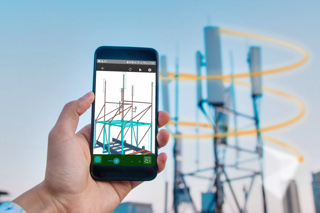
Streamlining Telecom Structure Surveys with Lidar Technology

In the realm of telecom infrastructure development, precision and efficiency are paramount. Traditional methods of surveying telecom structures have undergone a revolutionary transformation with the advent of Lidar technology. Lidar, which stands for Light Detection and Ranging, utilises laser beams to measure distances and create detailed 3D models of objects and environments. While previously used primarily in specialised equipment, recent advancements have seen Lidar technology integrated into consumer devices, such as smartphones. Lidar, integrated into smartphones like recent iPhone models, enables capturing precise 3D models of objects.

Gone are the days of cumbersome on-site visits with dedicated cameras or expensive drones. With Lidar-equipped smartphones, surveyors can quickly capture intricate details of structures from a distance. The ability to generate detailed 3D models allows designers to gain a comprehensive understanding of the existing structure, eliminating the need to sift through countless photos, and hoping the surveyor did not miss a crucial angle or having to rely on guesswork.

Lidar technology in smartphones offers a cost-effective and accessible solution for surveying. Surveyors can efficiently capture and analyse data, reducing time and expenses. Portable and versatile, these devices adapt to various environments, from remote cell towers to urban infrastructure.

In conclusion, Lidar technology in smartphones streamlines surveying, enhances accuracy, and provides valuable insights into existing structures. As technology advances, further innovations will revolutionise telecom infrastructure development, making surveying tasks more efficient than ever.