
A site survey is only as useful as the information that comes from it.
For the engineer designing a structure, the project manager planning the works, or the contractor preparing for installation, the site may be somewhere they have never visited. The challenge is therefore simple: how do you communicate a site clearly to someone who has never been there?
At KA Engineering Group, we believe a good survey goes beyond taking measurements and photographs. The information needs to be captured, organised and presented in a way that allows others to understand the site with confidence.
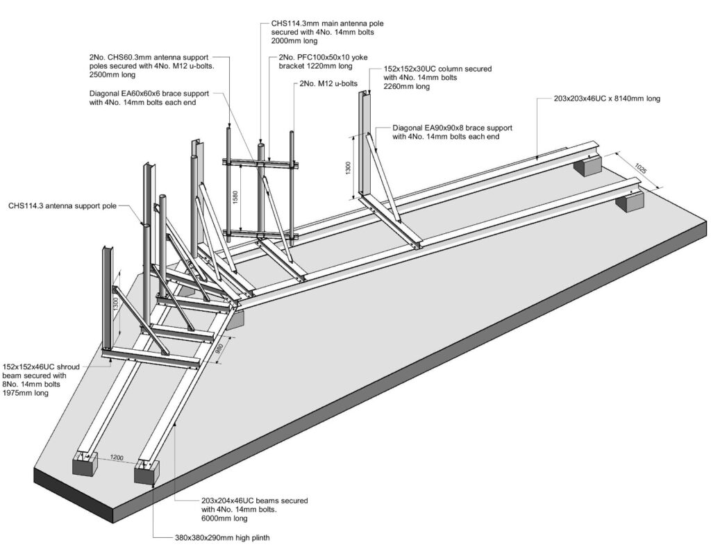
Clear sketches are a key part of this. Dimensions, member sizes, equipment locations, orientations, connection details and relevant site constraints should be recorded in a logical and easy-to-follow manner. Photographs should support the sketches rather than leave the reader trying to work out what they are looking at.
Technology also helps us capture the “bigger picture”. Depending on the requirements of the survey, we can utilise 360° cameras, drones, laser distance meters, digital measuring equipment and detailed photographic records to capture information from different perspectives, all presented in an online panoramic viewer that provides a more comprehensive perspective.
The level of detail will always depend on the purpose of the survey, but our approach is to capture enough information that the survey remains useful well beyond the site visit. In short, we don’t just capture the site. We aim to bring the site to you.
KA Engineering Group is available to undertake a wide range of telecoms structural and site surveys, from routine dimensional surveys to detailed investigations of towers, rooftops, antenna support structures and associated infrastructure. Contact our expert team at: info@ka-engroup.com to learn more and discuss how we can best serve your needs.