KA Engineering Group now offers drone survey and digital twin services, designed to complement our structural engineering expertise. Using high-resolution aerial photogrammetry, we capture accurate 3D data of buildings, towers, and historic structures — enabling faster, safer, and more detailed assessments than traditional inspection methods.
High-definition drone inspections & survey of roofs, façades, and telecom towers for rapid defect detection
Accurate 3D models from drone photogrammetry for tracking structural movement and weathering
High-quality orthomosaic mapping for accurate measurements, visualizations and CAD/GIS integration
Repeatable drone surveys for consistent data capture and effective long-term asset management
CAA-recognised drone pilot training
Enterprise-grade drones for accuracy
Integrated engineering insights
Fully insured under the UK CAA
Innovative and reliable structural design solutions
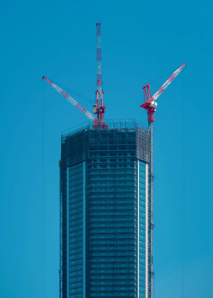
Antenna masts and communication infrastructure
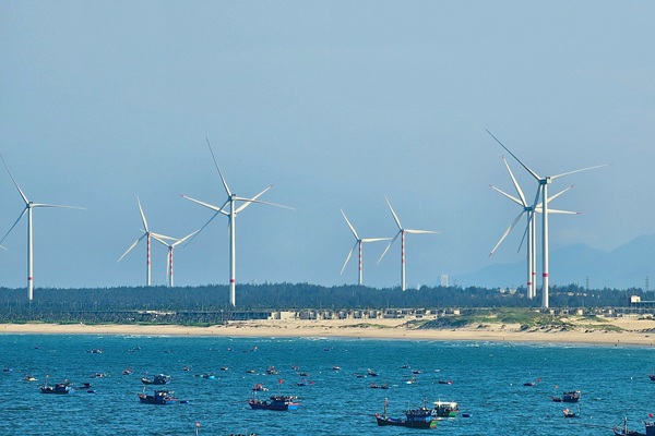
Expert solutions to extend operational life of wind turbines
Let’s get in touch
Let’s discuss how our engineering expertise can bring your vision to life. Get in touch with our team today.